Professional digital land survey services with advanced technology
Professional digital land survey services with advanced technology
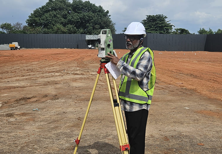
We deliver high-precision digital land surveys using advanced GPS and Total Station technology—ensuring accurate boundaries, reliable measurements, and legally compliant documentation for every project.


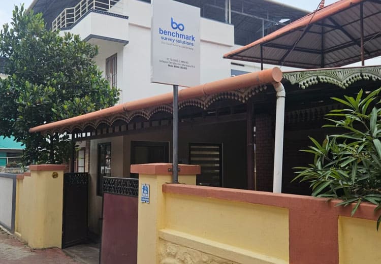
Welcome to BENCHMARK SURVEY SOLUTIONS, a professional Digital Land Survey Office providing accurate, reliable, and technology-driven land surveying solutions. We combine modern digital surveying methods with industry expertise to deliver precise results for all types of land and property requirements.
Equipped with advanced instruments and managed by skilled survey professionals, we serve individual landowners, builders, developers, engineers, and government-related projects.
Accuracy is not just our work—it’s our responsibility.
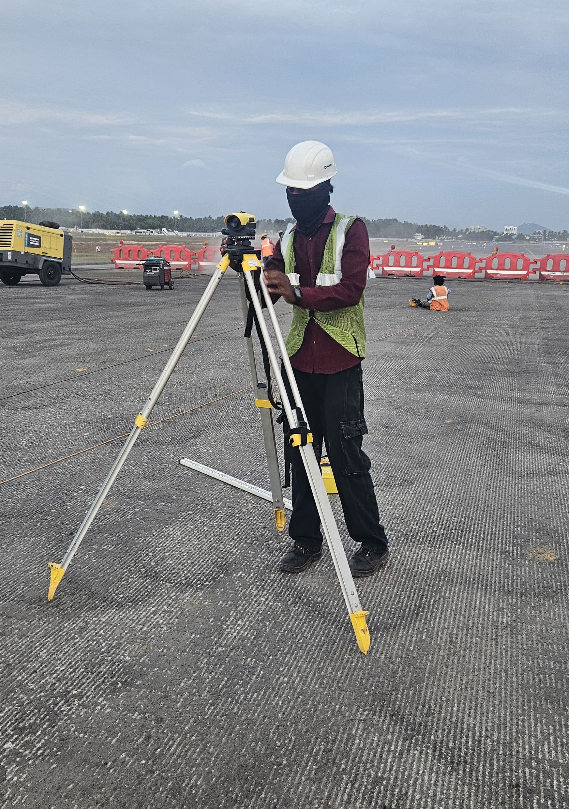
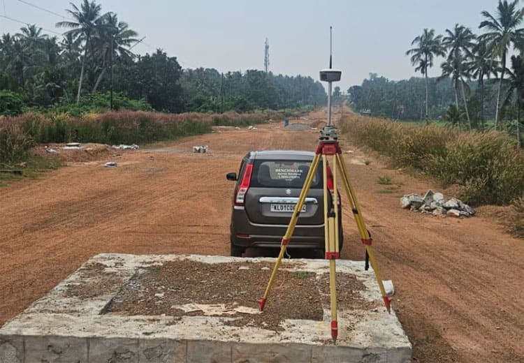
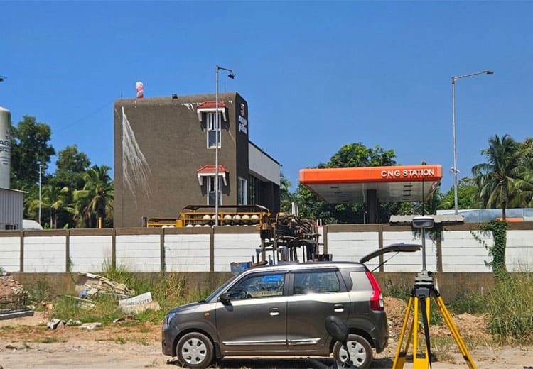
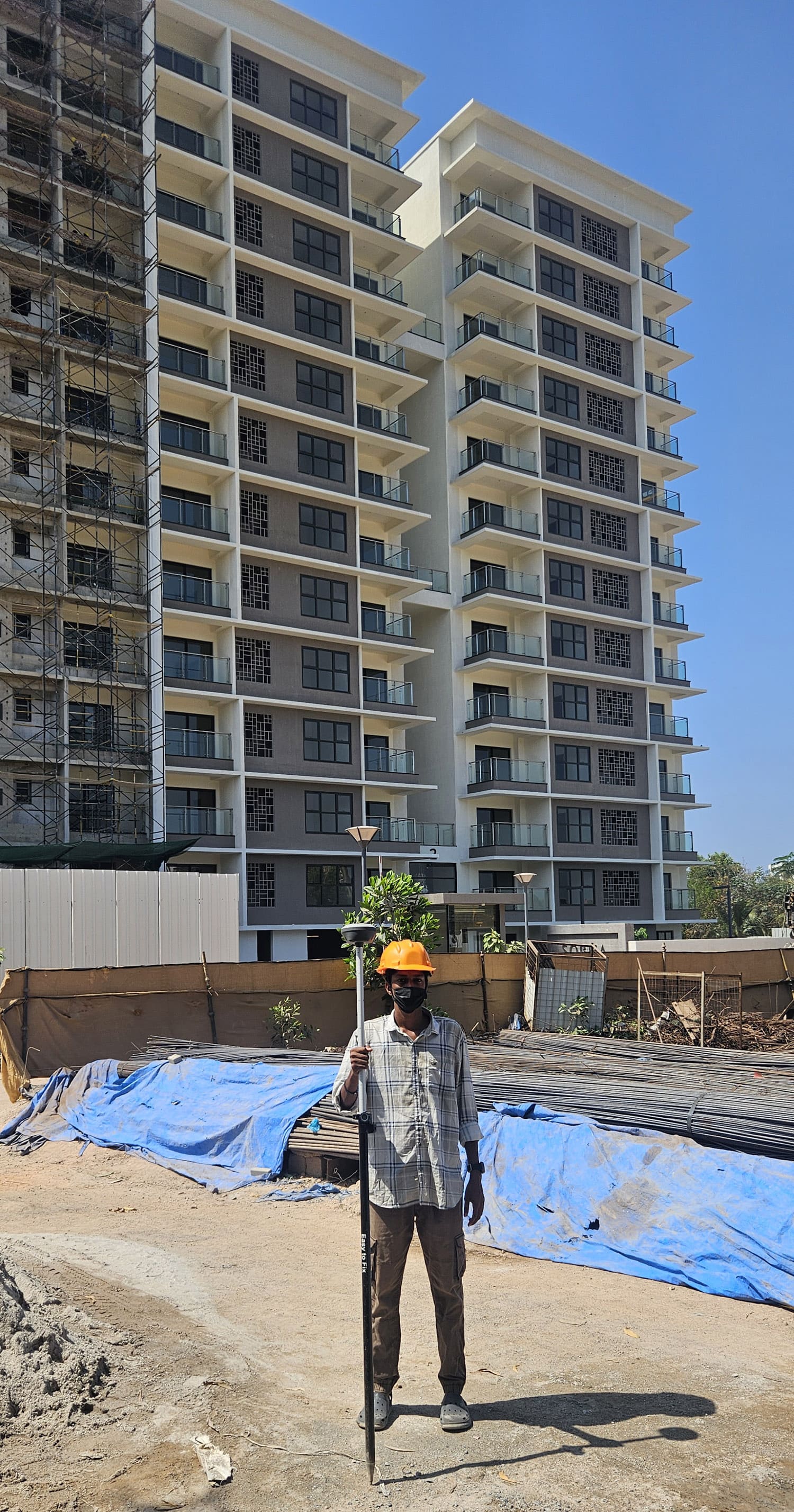
High-precision land measurement using modern digital surveying instruments such as GPS and Total Station, ensuring accurate and reliable results for all property types.
Clear identification of land boundaries and exact plot measurements for residential, commercial, and institutional properties, helping avoid disputes and legal issues.
Accurate survey support for construction activities, including layout marking, level checking, and alignment to ensure projects are executed as per approved plans.
Preparation of professional digital maps, drawings, and survey reports suitable for legal submission, approvals, and official documentation.


Accurate digital land surveys for personal properties, boundary verification, plot measurements, and documentation with complete clarity and transparency.
Reliable survey reports that help buyers and sellers verify land dimensions, boundaries, and records before property transactions.
Comprehensive survey support for residential and commercial developments, including topographic surveys and construction layout services.
Precise land data, contours, and elevation details required for planning, design, and technical project execution.
Legally compliant digital surveys, mapping, and documentation suitable for official submissions, approvals, and infrastructure projects.
We work closely with every client to understand project requirements and deliver accurate, reliable survey results using modern digital methods.

“Benchmark Survey Solutions provided an accurate digital land survey for our property in Kerala. Their boundary measurements were clear, precise, and completed on time. Highly professional service.”
“We relied on their digital land survey report before purchasing property. The survey details helped us verify boundaries and documents with confidence. Very reliable survey team.”
“It’s a pleasure working with Bunker understood new brand positioning guidelines translated them beautifully and consistently into our on going marketing comms”
“The contour maps and elevation details provided were extremely helpful for architectural planning. The team delivered professional digital survey data without delays.”
“We engaged Benchmark Survey Solutions for official land survey documentation. Their digital maps and reports were legally compliant and accepted without issues.”
“The survey work was completed efficiently using modern GPS and Total Station equipment. Clear communication and accurate results throughout the process.”
From boundary verification to digital mapping, we deliver dependable survey results.